jimotis4heisman
Banned
the gulf of mexico is very large taos.Logically, taking any fish from those waters would be very chancy.
Upvote
0

Follow along with the video below to see how to install our site as a web app on your home screen.

Note: This feature currently requires accessing the site using the built-in Safari browser.

the gulf of mexico is very large taos.Logically, taking any fish from those waters would be very chancy.
Taosman;1700214; said:Logically, taking any fish from those waters would be very chancy.
Nutriaitch;1700506; said:I think I'm still good so far.
If it even starts creeping westward, I'll just head onto the reserve instead.
It's completely surround by levees, and water control structures.
If they don't want it in, it ain't coming in.
I just need to find a smaller motor for my boat so I ain't got to paddle everywhere I go.
Taosman;1701054; said:I was, of course, referring to the effected waters.
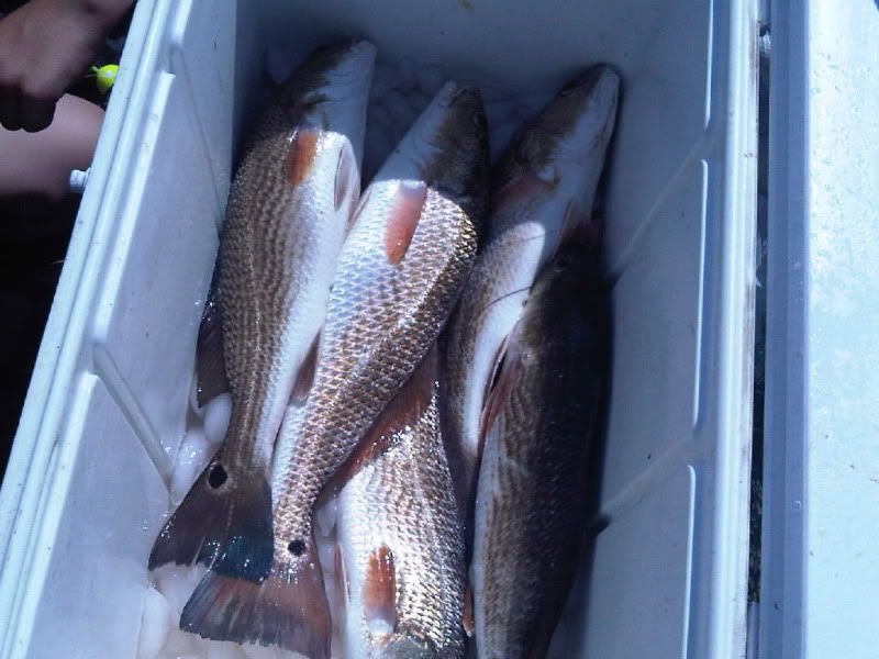
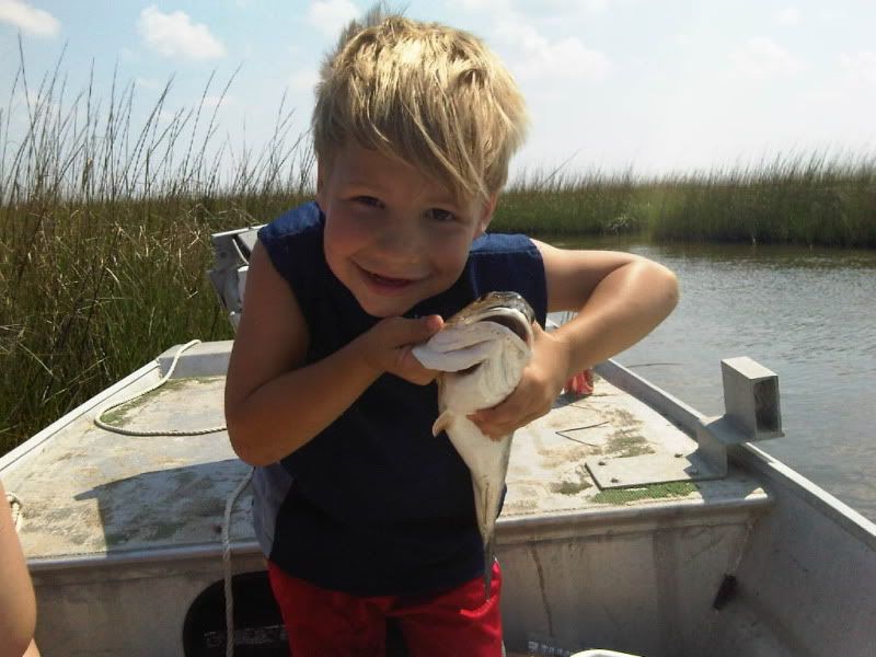
One of these pics is adorable. I'm not saying which.Nutriaitch;1707610; said:got to sneak in another trip before the spill invades my honey holes
only got one limit today (even though we had 3 people in the boat)
made sure the short one had a good time, just in case it is a long time before we can do it again
Deety;1707638; said:One of these pics is adorable. I'm not saying which.

HorseshoeFetish;2347911; said:I agree, that's a nice cooler.
Heading out to the river this morning..I think. Anyone else doing any fishing today?
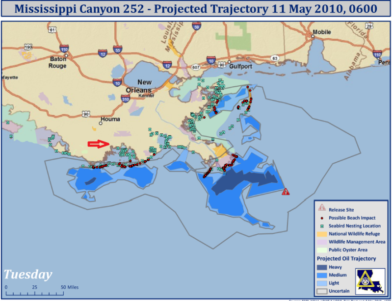
Nutriaitch;1701889; said:well, fishing in the gulf has been closed west of the Mississippi to the eastern end of the Atchafalaya basin now.
inside of the barrier islands is still open.
I'm pretty much dead center of the new area that has been closed. so I'm thinking i got a week or two at most to get out and catch some fish.
here's a map showing the latest projections for the spill.
my hometown is around the arrow.