• Follow us on Twitter @buckeyeplanet and @bp_recruiting, like us on Facebook! Enjoy a post or article, recommend it to others! BP is only as strong as its community, and we only promote by word of mouth, so share away!
  • Consider registering! Fewer and higher quality ads, no emails you don't want, access to all the forums, download game torrents, private messages, polls, Sportsbook, etc. Even if you just want to lurk, there are a lot of good reasons to register!
1bb72e4e1b1c8dbb2dcf98300194a61f113b2a659d6e59cfa65f80e6fba52387.gif


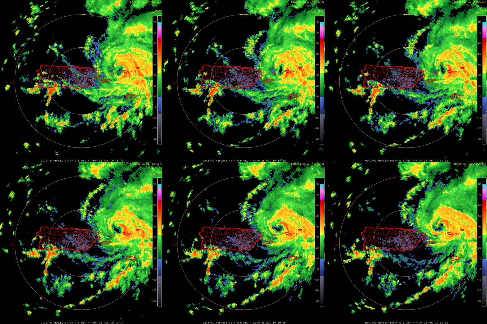
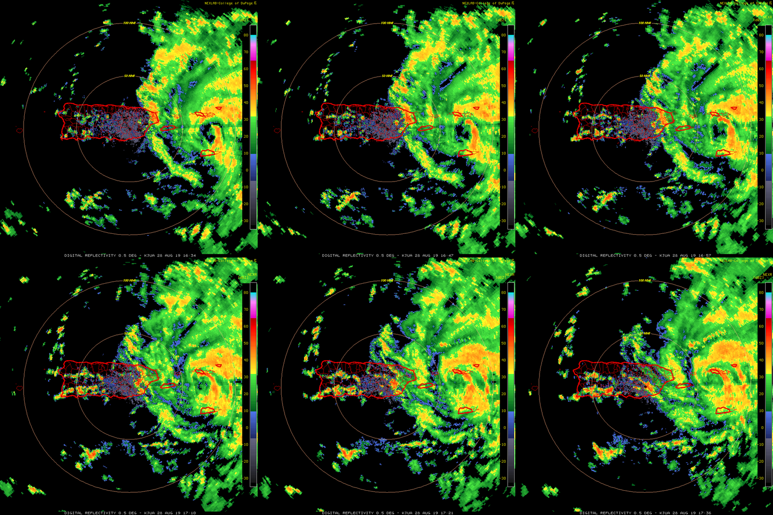
Now that it's a Hurricane, once it wraps the eye wall completely around the circulation (and it's close), you'll likely see a Hurricane that rapidly intensifies as it pulls away from PR and moves into the open Southwest Atlantic
 
Upvote 0
what’s the European model saying?

It's putting the landfall further south....northern Delray Beach or so....

The HWRF is typically better for intensity however but even the Euro is showing a deeper cyclone than what the NHC is currently and that's NOT good since the Euro, being a global model, usually doesn't go as strong as the more focused models like the HWRF.
 
Upvote 0
It's putting the landfall further south....northern Delray Beach or so....

The HWRF is typically better for intensity however but even the Euro is showing a deeper cyclone than what the NHC is currently and that's NOT good since the Euro, being a global model, usually doesn't go as strong as the more focused models like the HWRF.
yikes
 
Upvote 0

Just saw this (I don't have full access to the Euro) on Twitter, although it's not letting me access twitter at work (because yeah, whynot)....anyway it has a maximum velo of 128.1kts...and it appears that it will cross Florida and enter the gulf, right on top of the Loop current. That's high end CAT 4 (145-150MPH)....

it's looking increasingly likely that someone's gonna have a bad weekend....
 
Upvote 0
Just saw this (I don't have full access to the Euro) on Twitter, although it's not letting me access twitter at work (because yeah, whynot)....anyway it has a maximum velo of 128.1kts...and it appears that it will cross Florida and enter the gulf, right on top of the Loop current. That's high end CAT 4 (145-150MPH)....

it's looking increasingly likely that someone's gonna have a bad weekend....
are you saying i’d hit cat 3 then go into the gulf as cat4?
 
Upvote 0
Fuck this 5pm update. I don't like this at all. Hopefully it goes back to a northern track or shifts farther south with that almost hard right it's taking in that animation. I don't want to be anywhere close to that eye wall after dealing with Irma and was quite fine with the northern track keeping the eastern side of the storm well away from me. Actually thought with the previous runs it was getting closer to trending to a relatively harmless track along the coast and back out to sea.
 
Upvote 0
Back
Top